Topography
Updated:2021-10-08 Source:Shennongjia National Park

There are mainly petrographic, glacial, fluvial, and structural geomorphologic landforms.
I. Petrographic Landforms
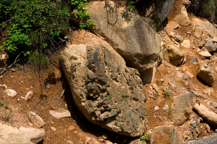
There are two main types of petrographic landforms. One is the carbonate rock karst landform represented by the Stone Forest in the Shennong Valley, the Banbiyan Clints and Stone Forest, the Dajiu Lake Karst Basin, the Houzishi Clints, and the Nantianmen Stone Forest. The other is the magmatic rock landform which appears on mountain peaks 3,000 meters above sea level, such as the Shennong Peak, Jinhou Ridge, and Laojun Mountain, etc.
II. Glacial Landforms
Under the influence of Quaternary glaciation, a series of glacial landforms were formed, which can be divided into glacial erosionallandforms, glacial depositional landforms and periglacial landforms.
(i) Glacial erosional landforms
Glacial erosional landforms are mainly composed of cirques, horns, arêtes, and U-shaped valleys, which mostly can be found in areas such as Dajiuhu, Shennongding, and Qingtianpao of Muyu Town.
(ii) Glacial depositional landforms
Glacial depositional landforms mainly include lateral moraines, basal moraines, and glacial erratics. Among them, Changyanwu glacial erratics and Xiaojiuhu glacial lateral moraine bar are the most typical.
(iii) Periglacial landforms
The more typical ones are Shennongding block sea, Hongshigou block streams, frost-weathered stone pillars between Chaoshuihe River and Houzishi, and curly structures caused by freeze-thaw action.
III. Fluvial Landforms
Under the action of fluviraption and fluvial denudation, a series of fluvial landforms are formed. There are mainly fluvial erosional landforms and fluvial depositional landforms in the park.
(i) Fluvial erosional landforms
The most typical ones are Yinyu River Grand Canyon, Shennong Valley, Golden Monkey Waterfall, Shuilian Waterfall, and the Gallery Valley of Hongping Town.
(ii) Fluvial depositional landforms
The peat accumulation and the modern river profile of Dajiuhu Wetland are the most typical.
IV. Structural Landforms
There are three main types of structural landforms, i.e., planation surface, escarpment, and folded mountain.
(i) Planation surface
The area where Shennongjia UNESCO Global Geopark is located has been intermittently uplifted due to neotectonic movement, and four-level planation surfaces have been formed in the mountains, which are as follows:
1. The Shennongding Period: the highest planation surface has an altitude of 2,900-3,100 meters, distributed in the areas of Da Shennongjia, Xiao Shennongjia, Shennong Peak, Houzishi, and Laojun Mountain;
2. The Bawangzhai Period: the planation surface with an altitude of 2,500-2,700 meters, distributed in the west and southwest regions, including Bawangzhai, Majiashan, Sifangtai, Dacaoping, and Beifengping;
3. The Exi (Western Hubei) Period: the planation surface has an altitude of 2,000-2,300 meters;
4. The Shanyuan Period: a period when the Yinyu River Great Canyon and other deep-cut canyons formed in this area.
(ii) Escarpment
A series of escarpments are formed in the park under the action of fault structure. The most typical ones are Jiuchong Great Escarpment and Yanziya Escarpment.
(iii) Folded mountains
There are basement folds formed by the Mesoproterozoic strata and capping folds formed later in overlying strata. The main peaks and ridges of Shennongjia are composed of basement folds. For example, the peaks and ridges in the Shennong Valley-Liangfengya area are comprised of a series of anticline and syncline structures.
Address:36 Chulin Road, Muyu Town, Shennongjia Forestry District, Hubei Province 鄂ICP备18005077号-3
Phone:0719-3453368


