Shennongjia Dajiuhu Ramsar Site
Updated:2022-07-12 Source:Shennongjia National Park
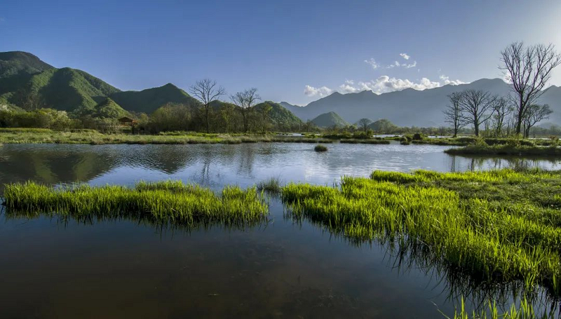
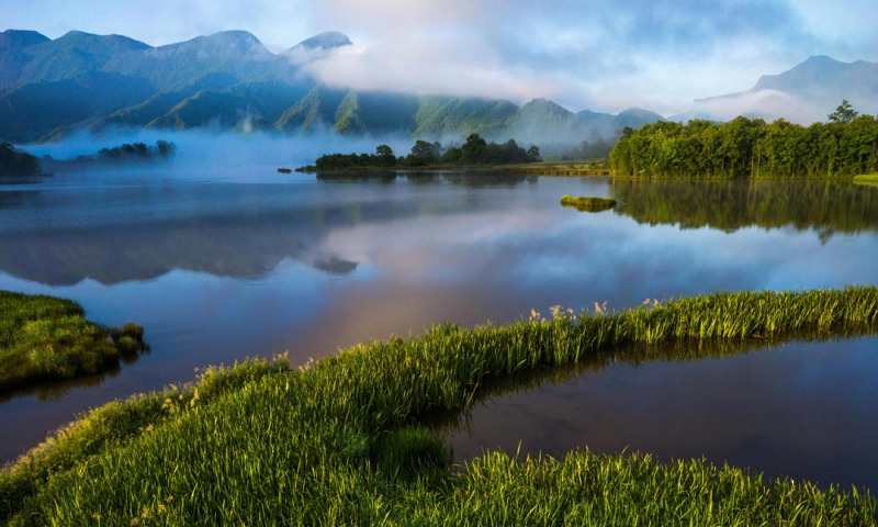
A vast basin is hidden in the high mountains and lofty hills of Shennongjia, extending in a slight S shape. Because of the average altitude of 1,730 meters, it’s called a "subalpine basin".
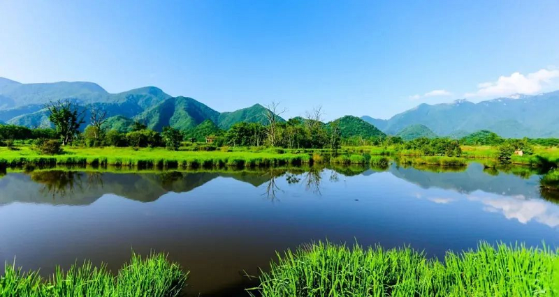
A small stream flows in the middle of the basin, connecting nine pools. The mirror-like pools glow reflecting the light from the sun and the moon, making the picturesque area of Dajiuhu.
In September 2006, the State Forestry Administration of the People's Republic of China approved the Dajiuhu Wetland as a national wetland park. On October 24, 2013, Dajiuhu National Wetland Park was inscribed on the list of Wetlands of International Importance by the Ramsar Convention.
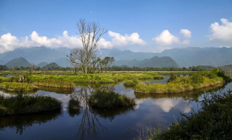
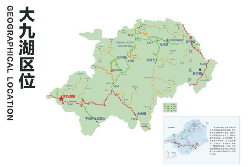
Dajiuhu is located in the northwest corner of Shennongjia, the watershed between the Yangtze and Han Rivers in Hubei Province. It is a karst basin formed by the interaction of glaciers and flowing water. It is adjacent to Chongqin and Shaanxi. The area of the wetland reserve is 9,320 hectares. The central flatland of the basin is 1,730-1,800m above sea level, surrounded by mountains 2,200-2,800m above sea level. The oldest, most typical, and best preserved peat moss wetland in central China is well preserved here.
The wetland includes peat moss marshes, shallow pools, artificial ponds, grass swamps, creeks, etc. It is a rare wetland ecosystem in the same latitude area.
The basement of the Dajiuhu Basin is mainly Cambrian (570-500 million years ago) limestone. The catchment of the entire basin either seeps into the underground karst fissures, or flows into the karst caves in the northwest, and then flows out of the basin through underground rivers. The entire wetland has neither external water supply nor surface river to drain it. Since ancient times, it has been described as "Water comes from the sky and goes into the earth", which is amazing.
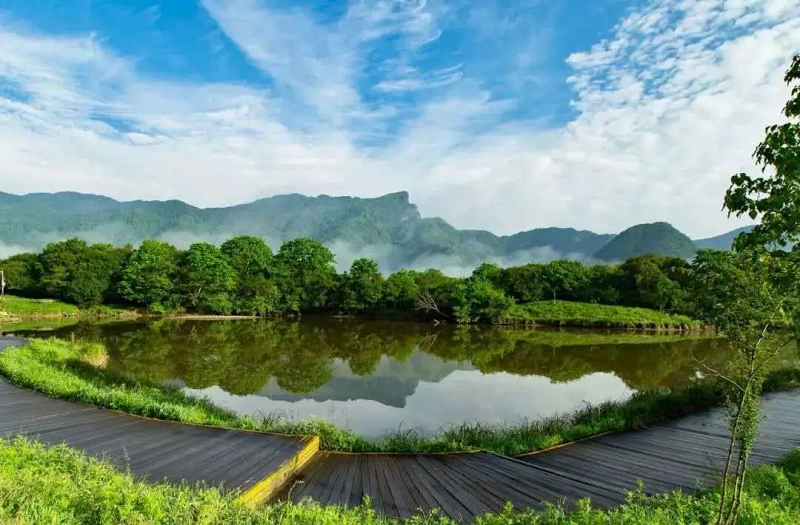
The unique resource of Dajiuhu is the peat swamp in the wetland core area. The average thickness of the peat layer is about 1.8m, and its maximum thickness is 3.6m. The peat distribution area of Hubei Province is 45.2011 million square meters, and Dajiuhu accounts for 8 million square meters. With 40 million cubic meters of reserves, the area of peatland and quantity of peat resource in Dajiuhu are the largest in Hubei Province.
Through the study of the Dajiuhu wetland sediments, experts in Chinese paleoenvironmental research believe that this wetland is more than 275,000 years of age.
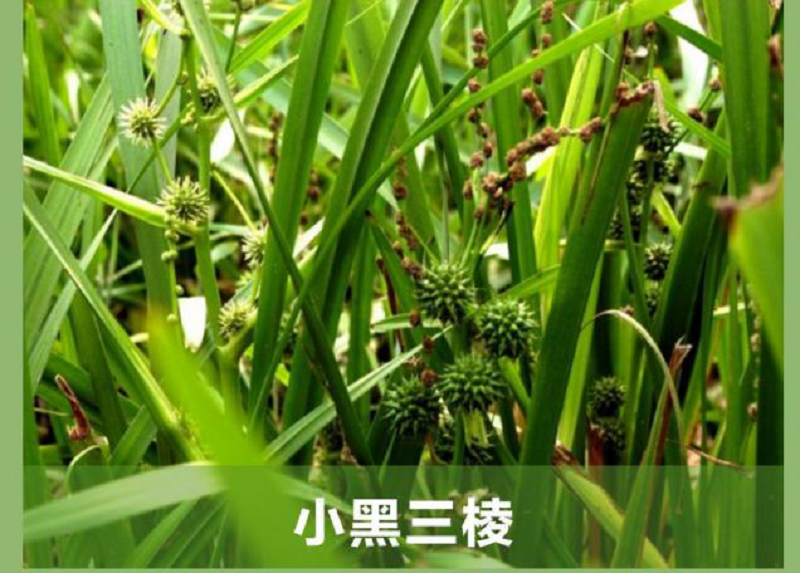
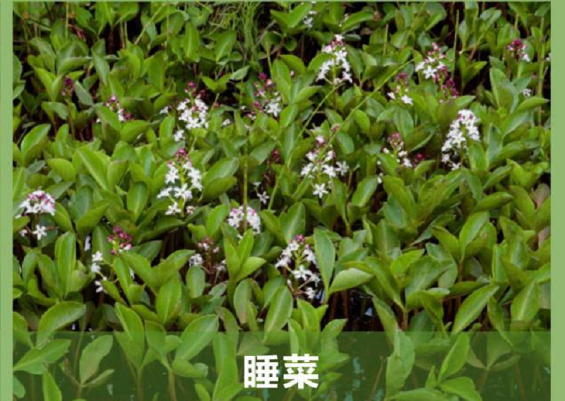
In central China, plants such as Buckbean (Menyanthes trifoliata L.), Sparganium simplex Huds., and Hypericum monogynum L. are only recorded in the Dajiuhu Wetland. Insectivorous plants such as Drosera rotundifolia L. var. Rotundifolia and Utricularia aurea Lour. are also distributed in all corners of Dajiuhu. In addition, the nationally protected ancient relict plants, such as Dove Tree (Davidia involucrata), Taxus Chinensis (Taxus wallichiana var. chinensis (Pilg.) Florin), Abies fargesii Franch., Chinese Tulip Tree (Liriodendron chinense (Hemsl.) Sargent.), Cercidiphyllum japonicum Sieb. Et Zucc., and Cyclocarya paliurus (Batal.) Iljinsk. are distributed in the woodland around the wetland.(By Du Hua, Wang Pin)
Copyright Shennongjia National Park
Address:36 Chulin Road, Muyu Town, Shennongjia Forestry District, Hubei Province 鄂ICP备18005077号-3
Address:36 Chulin Road, Muyu Town, Shennongjia Forestry District, Hubei Province 鄂ICP备18005077号-3
Email:2673990569@qq.com
Phone:0719-3453368
Phone:0719-3453368


TOP

